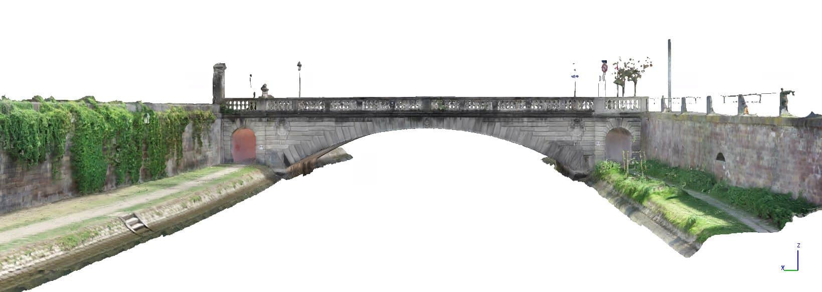
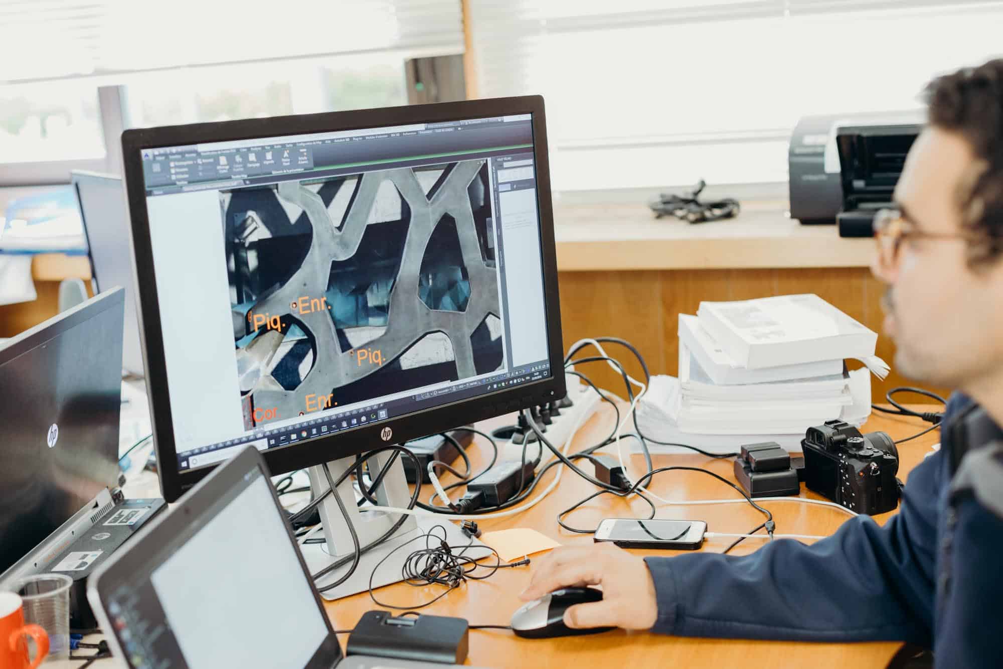
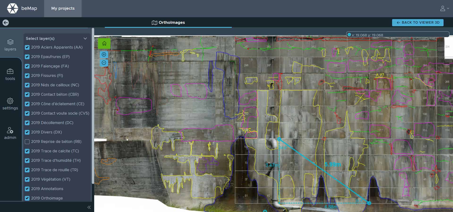
An inspection solution tailored to your challenges:
- Monitor the condition of your assets to ensure they present no risk to users and plan predictive maintenance work
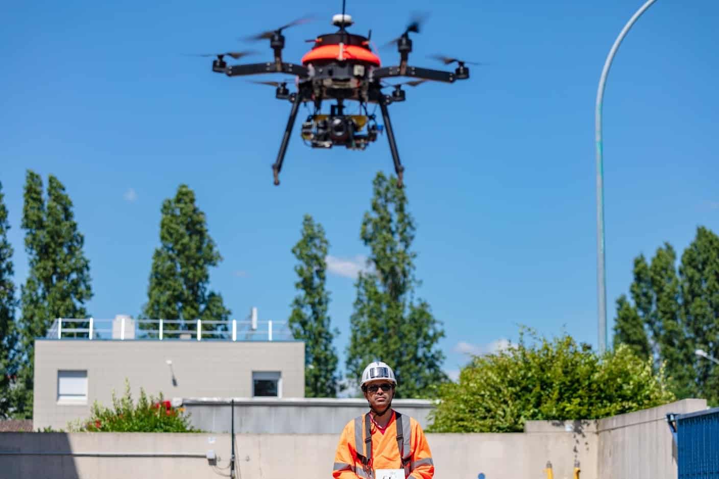
- Ensure the safety of work where access is difficult
- Optimise inspection costs by adjusting the level of data accuracy
On-site design and data acquisition
- Definition of the data acquisition accuracy level to match the required level of detection detail
- Choice of the best sensor and vector combination for the circumstances (level of resolution required, type of structure, environment, etc.)
- System integration
- Management of official formalities and authorisation requests
- On-site working and data acquisition


