Our mission is to provide our clients with the accurate dimensional data they require, using laser scanning and photogrammetry, in order to compile a comprehensive and precise inventory of their assets.
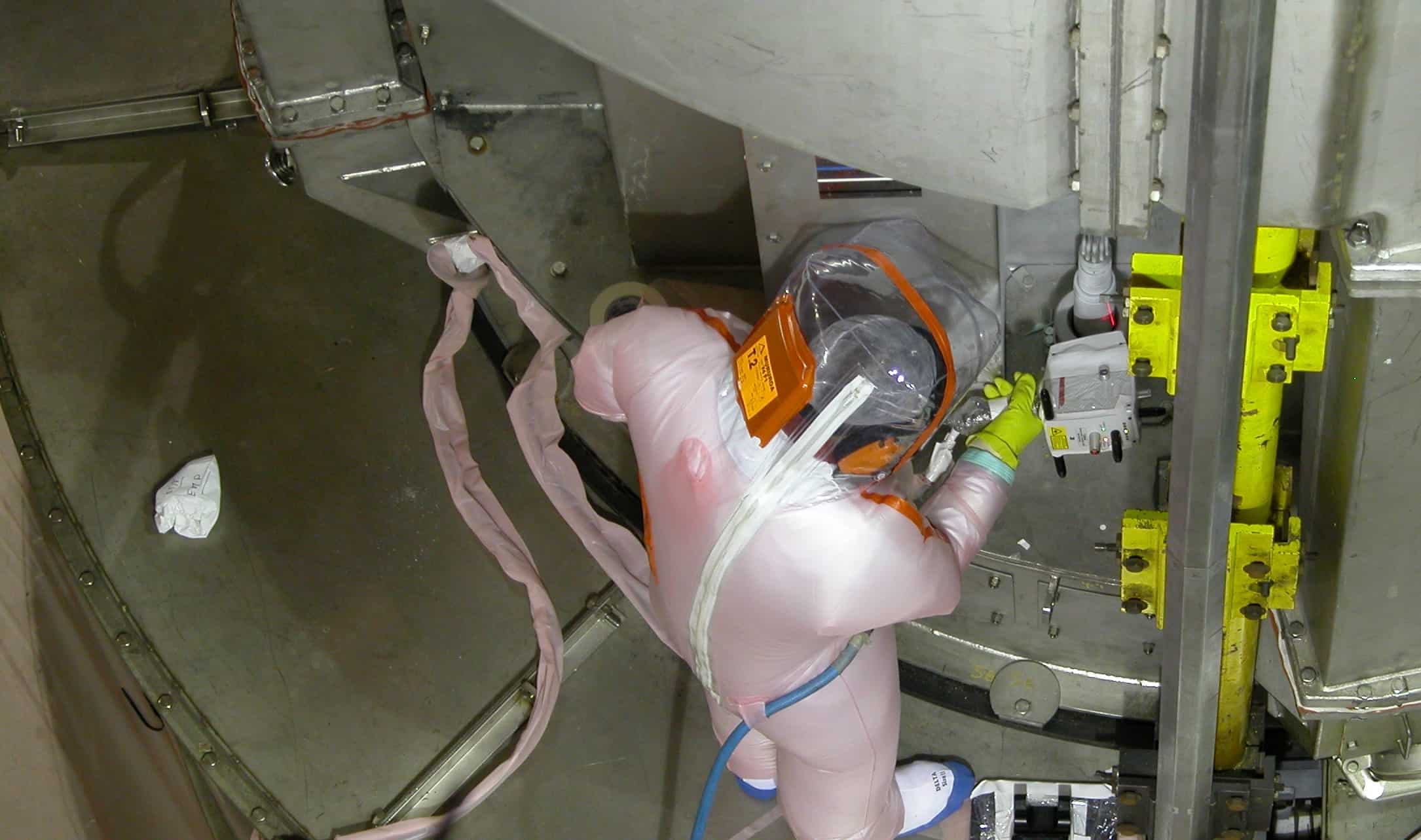
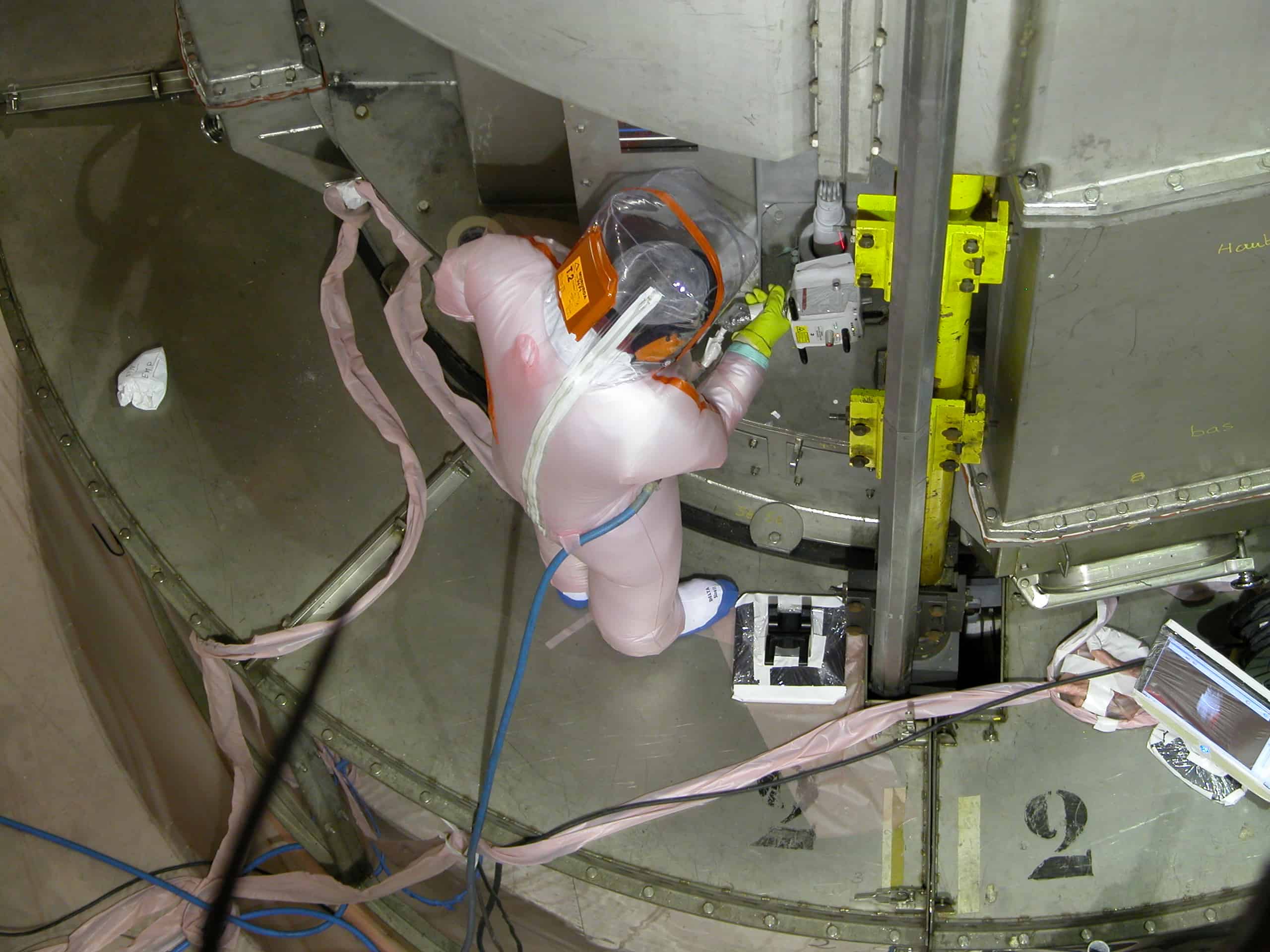
We conduct laser scanning and photogrammetry services in open and confined environments, within structures of varying types, including but not limited to, nuclear power plants, chemical production facilities, oil and gas refineries, silos, bridges, manufacturing plants, secure infrastructure, tunnels and other sub-surface environments.
Your challenges, our responses
- Complete control over your asset base
The challenge: to gain precise knowledge of your assets using remote techniques to reduce costs.
Our teams conduct three-dimensional surveys by scanning premises and installations and incorporating the topographic information required for data georeferencing.
- Project reliability
The challenge: to acquire the comprehensive geometric and visual inventory needed to consolidate your construction, development and decommissioning scenarios.
Our solutions combine the precision of a measured survey and geolocation with visual realism.
Our solutions
What sets us apart from our competitors
- Operational expertise spanning a broad spectrum of equipment and techniques for aerial, terrestrial, sub-surface and even underwater data acquisition.
- The ability to take high-precision measurements underwater and in high radiation environments, using robotic solutions where necessary.
- Our continual programme of capital investment in the latest generation of scanners.
- Our ability to work in confined and sensitive environments as a result of our many certifications and accreditations, including MASE (HSE), QUALIANOR (radiation protection), CATEC (underground networks), Chemical Risk and Working at Height


